Service 07 / 10
3D surveys & drone
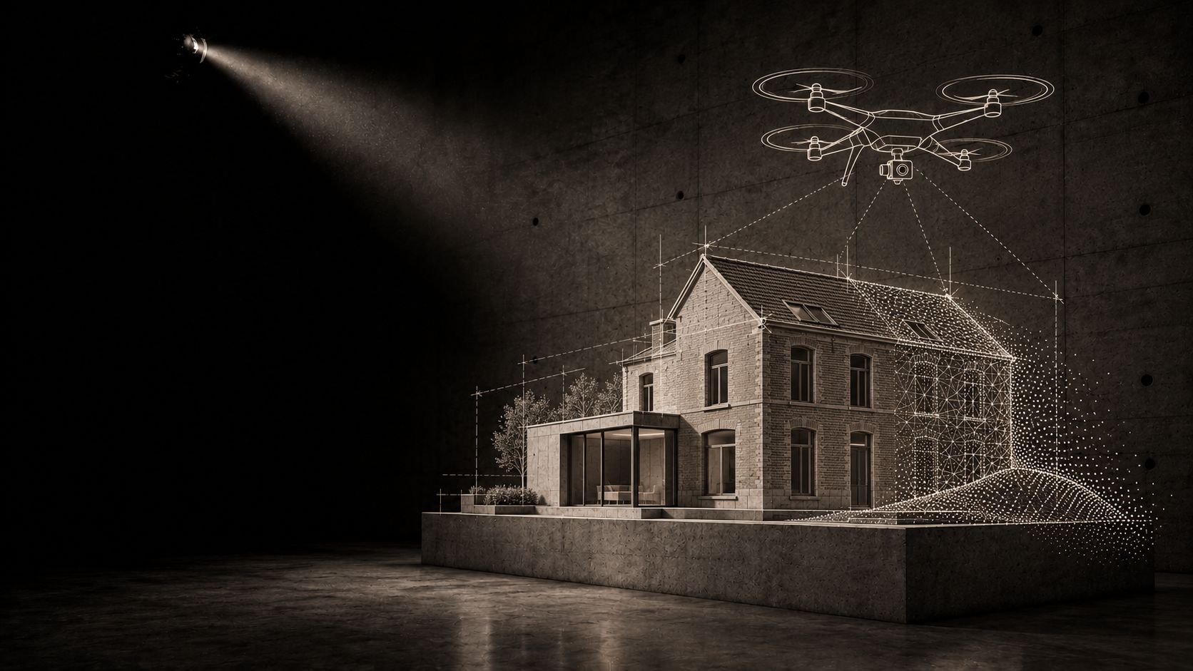
ArchitectANA carries out building and site surveys using conventional surveying methods together with digital technologies such as photogrammetry, 3D modelling and drone imagery.
These technologies allow existing buildings, façades, roofs, sites and complex environments to be accurately documented for architecture, renovation, conversion, technical expertise and inspection.
Accurate documentation of existing conditions
Reliable design begins with reliable information about the existing building.
For complex properties and difficult-to-access areas, digital surveying methods can efficiently complement conventional on-site measurements.
The resulting data can be used to produce drawings, 3D models, façade representations and technical documentation.
Our surveying services
- Architectural building surveys — Collection of dimensions and information required to accurately represent the existing condition.
- Photogrammetry — Digital reconstruction of buildings, façades, sites or architectural elements using a structured set of photographs.
- Drone surveys and inspections — Aerial documentation of roofs, façades, sites and difficult-to-access areas where conditions and applicable regulations permit.
- Existing-condition 3D modelling — Conversion of survey data into digital models suitable for project design and analysis.
- Visual building inspections — Documentation of difficult-to-access areas to assess their apparent condition.
3D surveys for renovation and conversion
Existing drawings do not always accurately represent the actual building.
A detailed survey helps establish the real geometry of the property before developing a renovation, extension, conversion or regularisation project.
Drone inspections and technical expertise
Drone imagery can also support technical building assessments by documenting areas that are difficult to inspect directly, including roofs, chimneys, façades and external building elements.
Integrated into the design process
Survey information can be incorporated directly into our architectural and digital models, creating continuity between surveying, analysis and design.
Common questions
- When is a 3D survey worth doing?
- Existing drawings do not always match the actual condition of a building. An accurate survey gives an understanding of volumes, levels, façades and roofs before the design of a renovation, extension, conversion or regularisation is developed.
- Does a drone inspection replace a technical survey?
- No. Drone imagery documents the visible condition of hard-to-reach parts of a building, such as roofs, chimneys, façades and cornices. It supports a technical assessment but does not replace physical or intrusive investigation where a more detailed analysis is required.
- What do you receive from the survey?
- The resulting data can be used to produce drawings, 3D models, façade representations and technical documentation. Where we also provide the design, survey data feeds directly into our architectural and digital models, keeping continuity between survey, analysis and design.
Need a 3D survey or drone inspection?
Existing building, façade, roof, site or renovation project: send us your requirements so that we can determine the most appropriate surveying method.
Book a consultation